Slim Lake
Washburn County, Wisconsin210 acresView mapDirections
Wisconsin DNR publishes the water-quality measurements for Slim Lake. Here is what has been measured.
- Oligotrophic
- Impaired · Nutrients (phosphorus, nitrogen)
- 42 ft max depth
- Public access
- Limited data
Slim Lake in Washburn County, Wisconsin has water-quality measurements published by Wisconsin DNR, shown here as reported. Water clarity: 15.7 ft visibility. Phosphorus: 13 µg/L. Maximum depth: 42 ft. Surface area: 210 acres.
Slim Lake is a 210-acre cold, clear oligotrophic lake in Washburn County, Wisconsin with a maximum depth of 42 feet. Overall water quality is improving over recent sampling years. The lake supports 5 documented fish species including Panfish, Largemouth Bass, and Smallmouth Bass. Public access is available with 1 public boat landing. Compared to the 26 other monitored lakes in Washburn County, Slim Lake ranks #22 for water quality.
Source: EPA Water Quality Portal sampling records, Wisconsin DNR Surface Water, last sampled 2026-06-16. Methodology: how these readings are compared.
Slim Lake covers about 210 acres in Washburn County. It has one public boat landing. Vrbo is where to look for cabins and lake homes around Slim Lake, and Booking.com and Expedia search hotels near the lake for your dates.
What Slim Lake is good for
From access and monitoring records, not editorial picks.
- Clear water15.7 ft of visibility
- Boat launch1 documented ramp
- Fishing5 species recorded
- Deep water42 ft surveyed max depth
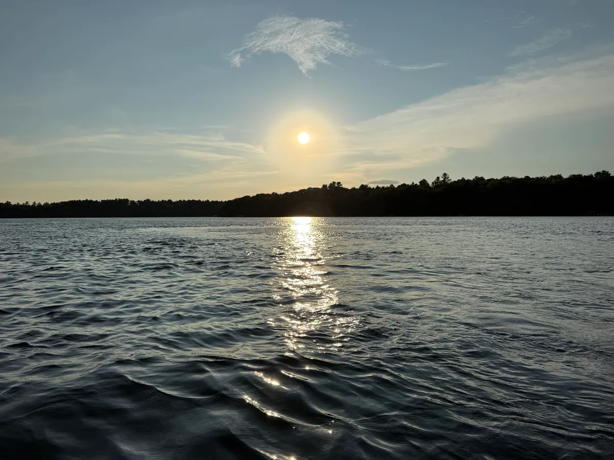
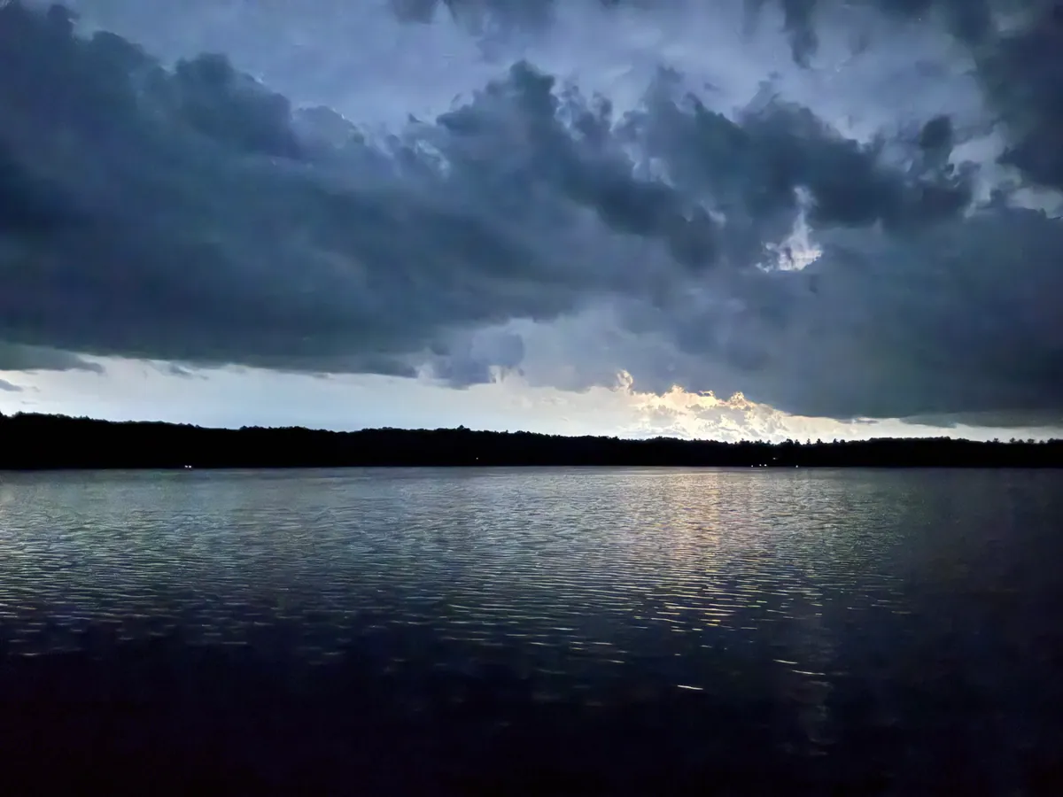
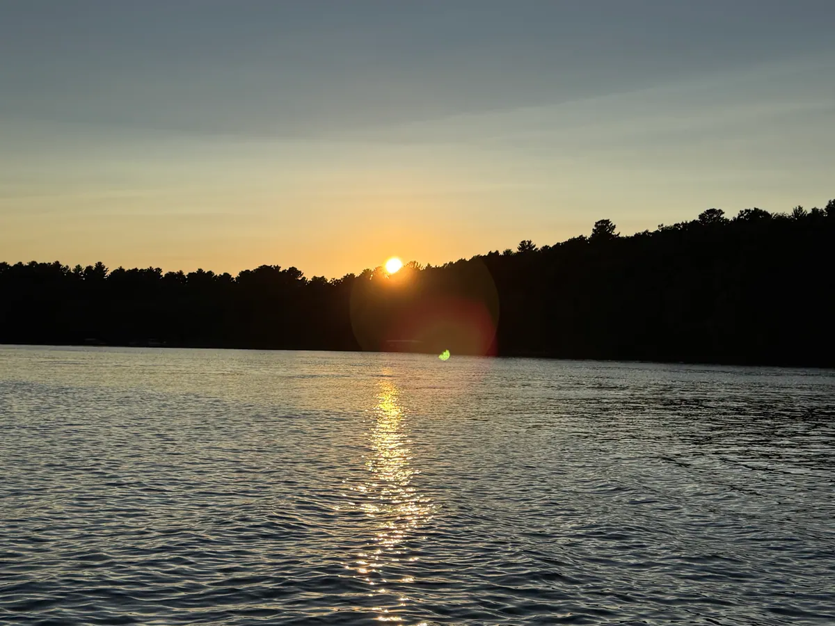
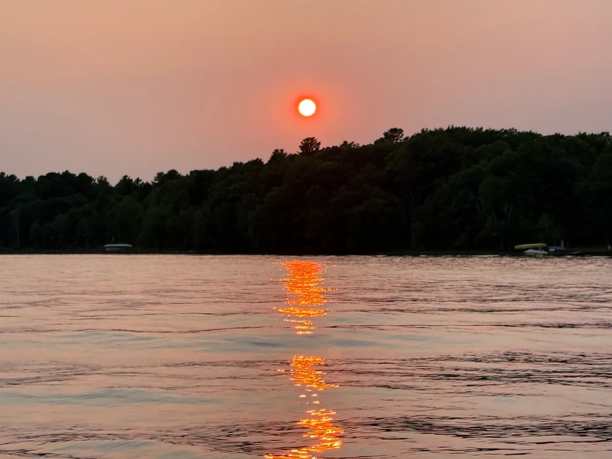
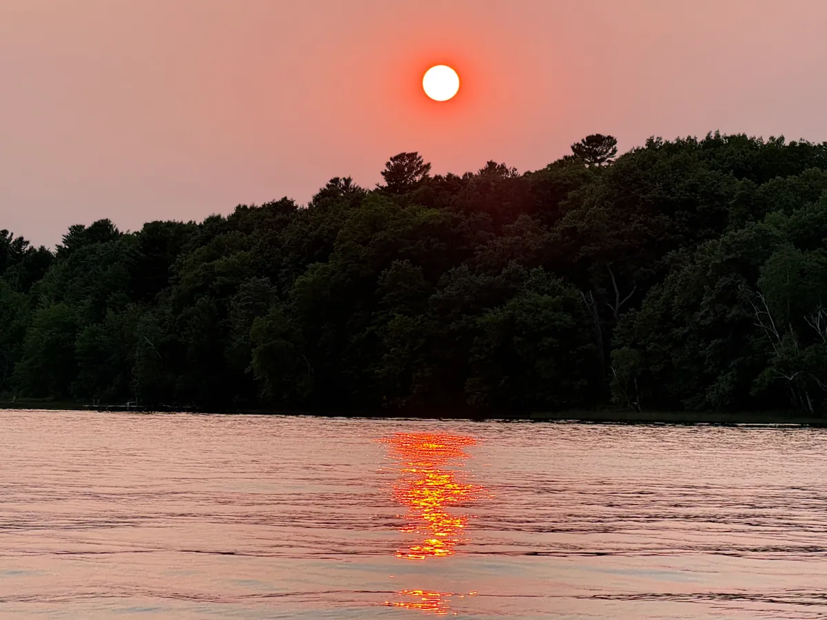
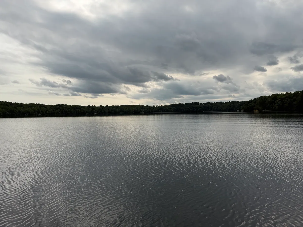
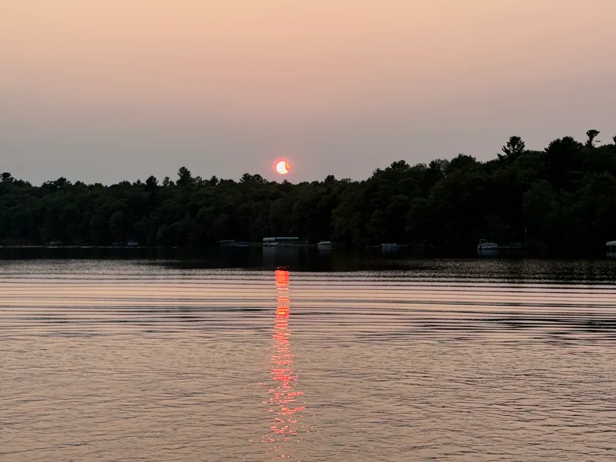
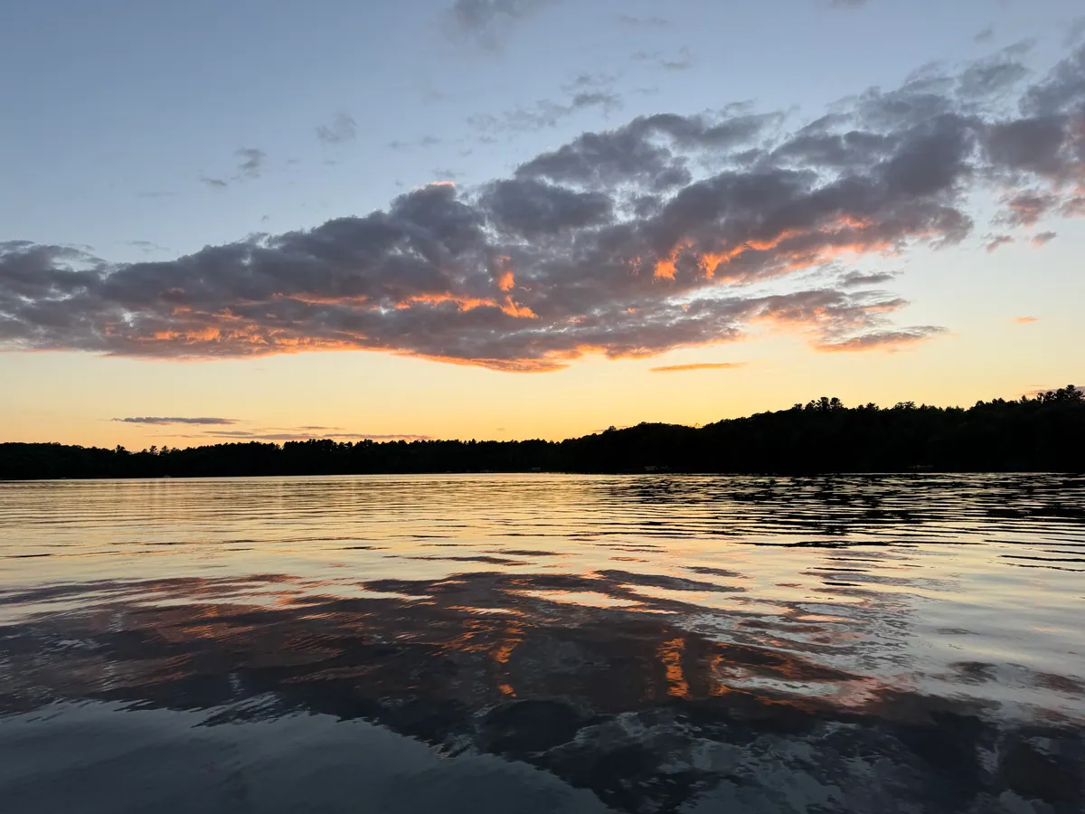
Photos of Slim Lake
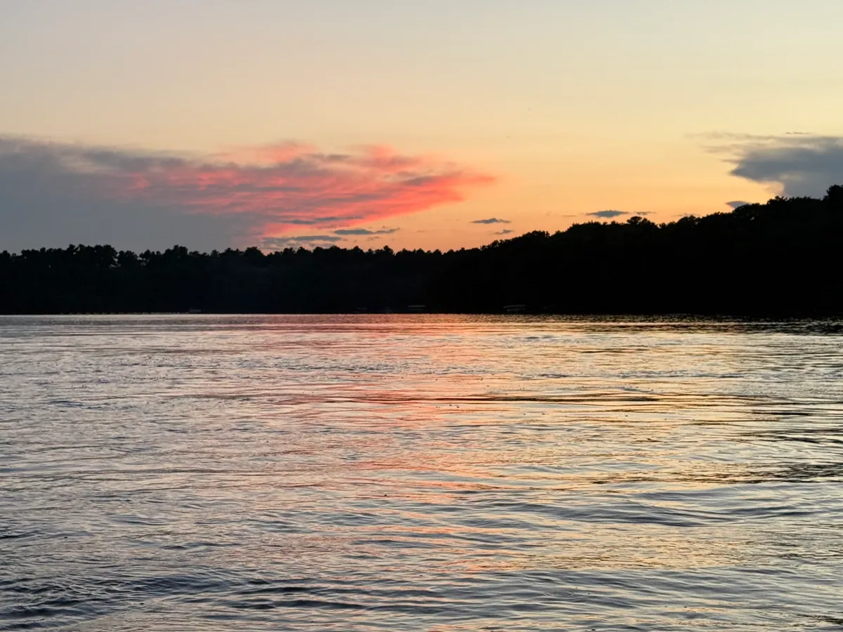
8 frames, in the order they were taken.
Swimming conditions
Readings onlyRecreation use not supported
Based on clarity and algae readings from past sampling — there is no live water temperature and a current cyanobacteria reading for this lake. Check your state or county health department before you swim.
Nutrient and algae readings are not a swimming clearance. Slim Lake is listed impaired under Clean Water Act §303(d) (IR 5R) for nutrients (phosphorus, nitrogen). Check local advisories before you swim.
Whether Slim Lake is safe to swim in today is a call for the Wisconsin Department of Natural Resources and the county health department, who post current advisories. LakeQuality does not issue swimming clearances.
Water quality measurements for Slim Lake
These are the measurements Wisconsin DNR publishes for Slim Lake, shown as reported. The condition class beside each reading is the EPA National Lakes Assessment class for this lake’s ecoregion.
Crystal clear, you can see 15.7 ft down. Phosphorus 13 µg/L. TSI 39.
| Measure | Reading | Where it sits |
|---|---|---|
| Water clarity (Secchi depth) | 15.7ft | Measured, not scored How deep a black-and-white disk stays visible from the surface. Higher is clearer. |
| Total phosphorus | 13µg/L | Good GoodFairPoor |
| Chlorophyll-a (algae) | No reading The green pigment in algae — a direct measure of how much algae is in the water. | |
| Trophic state (TSI)Carlson's 0–100 index of how much algae a lake can support, from clarity, phosphorus and chlorophyll-a. | 39 | Oligotrophic OligotrophicMesotrophicEutrophicHypereutrophic |
Low nutrients, clear water. No reading is a swimming clearance.
Ask about Slim Lake
Answers come straight from the public measurements and survey records on this page.
Lake Details
Max depth
42 ft
Surface area
210 acres
Public access
Yes
Listed by Wisconsin DNR
Lake Size & Watershed
Watershed (drainage) area
7 sq mi
HydroLAKES / HydroSHEDS
Shoreline
2.6 mi
HydroLAKES / HydroSHEDS
Elevation
1,280 ft
Size, shoreline, and watershed area from HydroLAKES (HydroSHEDS).
Recreation & Access
- Slim LakePublic
Named access points in the USGS National Boat Ramps inventory, within about 3 miles. More lakes with boat ramps
Stays via Stay22
Stays near Slim Lake
Compare lakeside cabins, hotels, and vacation rentals near Slim Lake in Washburn County, Wisconsin — live availability and prices for your trip. Switch the map to Satellite to see the lake and how close each stay is to the water.
Top-rated places to stay near Slim Lake
Prices for Oct 16–18, 4 adults. Change dates on the map below.
Availability and prices from Stay22 partners (Booking.com, Vrbo, Expedia). We may earn a commission from bookings, at no extra cost to you.
Planning a whole trip? See where to stay at Wisconsin’s top lakes →
Follow Slim Lake’s readings
Email me when new measurements post for this lake. Updates stay free.
Or email
Fish Species
Click a species to see every lake where it is documented.
Fishing Slim Lake
Invasive & Introduced Species
Red chips are ecologically harmful invasive species. Gray chips are stocked or introduced fish that aren't a current ecological concern.
Water Quality Trend: Improving
Based on 4 years of monitoring (2021–2026).
Water clarity
Improving2 years
Phosphorus
Improving-0.9 µg/L/yr4 years
EPA Impairment Status
Slim Lake is officially listed as impaired under Clean Water Act §303(d) in the 2024 EPA reporting cycle (IR category 5R).
Causes of impairment
Designated uses not supporting: Aquatic life, Recreation.
Source: EPA ATTAINS assessment unit WI10004596 · Official waterbody report
Nearby Lakes in Washburn County
Frequently asked questions about Slim Lake
Where is Slim Lake?
- Slim Lake is a lake in Washburn County, Wisconsin. Its water-quality measurements are published by Wisconsin DNR and shown on this page as reported.
What is the water quality of Slim Lake?
- Slim Lake in Washburn County, Wisconsin has water-quality measurements published by Wisconsin DNR, shown here as reported. Water clarity: 15.7 ft visibility. Phosphorus: 13 µg/L. Maximum depth: 42 ft. Surface area: 210 acres.
Is Slim Lake safe to swim in?
- Nutrient and algae readings are not a swimming clearance. Slim Lake is listed impaired under Clean Water Act §303(d) (IR 5R) for nutrients (phosphorus, nitrogen). Check local advisories before you swim.
How deep is Slim Lake?
- Slim Lake has a maximum depth of 42 feet. The lake covers 210 acres.
What fish are in Slim Lake?
- Fish species found in Slim Lake include Panfish, Largemouth Bass, Smallmouth Bass, Northern Pike, Walleye. Slim Lake is located in Washburn County, Wisconsin.
Are there boat ramps on Slim Lake?
- Slim Lake has 1 documented boat landing in the USGS National Boat Ramps inventory. Named access points include Slim Lake. Public access is listed as yes.
Can I fish at Slim Lake?
- Slim Lake has 1 documented boat landing in the USGS National Boat Ramps inventory. Seasons, size and bag limits, and whether you need a license are set by Wisconsin's fish and wildlife agency, so check its current regulations before you go.
Explore Slim Lake across LakeQuality
Fish species and the cleanest lakes across Wisconsin
Fish species and best lakes in Washburn County
Species activity outlook by water temperature and season
Top lakes and where to stay in the Hayward Lakes area
Where to stay at Wisconsin's top lakes, each with its readings
Lakes in the Chippewa River Watershed, ranked by water quality
Wisconsin's cleanest lakes, ranked on agency measurements
More lakes in Wisconsin
Other Lakes in Wisconsin
Oligotrophic Lakes in Wisconsin
Where this data comes from
19 measurements from 1 monitoring station, 2021–2026. Retrieved from the EPA Water Quality Portal on 2026-08-02.
Collected and reported by
- Wisconsin Department of Natural Resources
WIDNR_WQX19 samples · 2021–2026
Analytical methods
- Phosphorus by Colorimetry
Monitoring station identifiers (1)
EPA condition classes from the National Lakes Assessment (EPA 841-R-24-006, Table 6-3), applied by ecoregion. See where the data comes from and data sources.
Other records on this page
Impairment status from EPA ATTAINS 303(d) database
Lake size & watershed from HydroLAKES (HydroSHEDS)
Fish and recreation data from Wisconsin DNR Lakes
Named boat-access points from the USGS National Boat Ramps inventory