LakeQuality
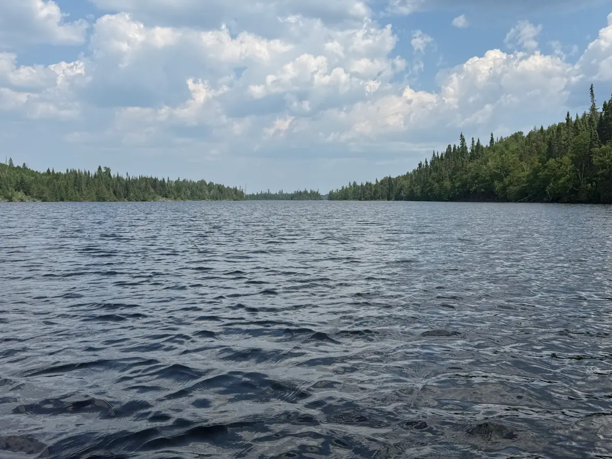
Wind-rippled open water under summer cumulus, spruce forest on both shores, in the Boundary Waters
Permits

Entry Points & Permit Quotas

63overnight-paddle entry points

Every overnight paddle trip into the Boundary Waters starts at a numbered entry point, and each one has a daily quota — a fixed number of permits released per day from May 1 to September 30. This is the only place that pairs each entry point's quota with the water-quality readings of the lake it puts you on. 20 of the 63 entry points map to a lake with readings on record; the rest put in on rivers or lakes with no reading yet, shown as a blank rather than a guess.

Reviewed by LakeQuality Editorial Team · Updated

Entry-point map

Each marker is an entry point. Tap for the quota and to open its page.

Loading map…

All 63 overnight-paddle entry points

EP #Entry pointAccess lakeClarityDaily quotaDistrictReserve
1Trout Lake——12LaCroixReserve →
4Crab Lake & Cummings Lake——3KawishiwiReserve →
6Slim Lake——2KawishiwiReserve →
7From Big Lake——2KawishiwiReserve →
8Moose River South——1LaCroixReserve →
9Little Indian Sioux SOUTH——1LaCroixReserve →
12Little Vermilion LakeLittle Vermilion Lake10 ft6LaCroixReserve →
14Little Indian Sioux North——4LaCroixReserve →
16Moose/Portage River North——5LaCroixReserve →
19Stuart River——1KawishiwiReserve →
20Angleworm Lake——2KawishiwiReserve →
22Mudro Lake Restricted——2KawishiwiReserve →
23Mudro LakeMudro Lake—5KawishiwiReserve →
24Fall LakeFall Lake5.5 ft14KawishiwiReserve →
25Moose LakeMoose Lake13 ft27KawishiwiReserve →
26Wood Lake——2KawishiwiReserve →
27Snowbank LakeSnowbank Lake15.1 ft8KawishiwiReserve →
28Snowbank Lake Restricted——1KawishiwiReserve →
29North Kawishiwi River——1KawishiwiReserve →
30Lake OneOne Lake7.5 ft13KawishiwiReserve →
31Farm LakeFarm Lake5.5 ft3KawishiwiReserve →
32South Kawishiwi River——2KawishiwiReserve →
33Little Gabbro LakeLittle Gabbro Lake6.5 ft2KawishiwiReserve →
34Island River——2TofteReserve →
35Isabella LakeIsabella Lake4.4 ft2TofteReserve →
36Hog Creek——4TofteReserve →
37Kawishiwi Lake——7TofteReserve →
38Sawbill LakeSawbill Lake6.6 ft11TofteReserve →
39Baker Lake——2TofteReserve →
40Homer LakeHomer Lake6 ft2TofteReserve →
41Brule LakeBrule Lake10 ft7TofteReserve →
42Brule Lake Only——0TofteReserve →
43Bower Trout Lake——1GunflintReserve →
44Ram Lake——1GunflintReserve →
45Morgan Lake——1GunflintReserve →
47Lizz and Swamp Lakes——3GunflintReserve →
48Meeds Lake——2GunflintReserve →
49Skipper & Portage Lakes——2GunflintReserve →
50Cross Bay LakeCross Bay Lake7 ft3GunflintReserve →
51Missing Link Lake——5GunflintReserve →
52Brant Lake——4GunflintReserve →
54Seagull Lake——8GunflintReserve →
55Saganaga LakeSaganaga Lake13 ft15GunflintReserve →
57Magnetic Lake——3GunflintReserve →
58South LakeSouth Lake26 ft2GunflintReserve →
60Duncan LakeDuncan Lake21.5 ft2GunflintReserve →
61Daniels Lake——1GunflintReserve →
62Clearwater LakeClearwater Lake29 ft2GunflintReserve →
64East BearskinEast Bearskin Lake14 ft3GunflintReserve →
66Crocodile River——1GunflintReserve →
67Bog Lake——1TofteReserve →
68Pine LakePine Lake16.9 ft1GunflintReserve →
69John Lake——1GunflintReserve →
70North Fowl Lake——2GunflintReserve →
71From Canada——3Reserve →
75Little Isabella River——1TofteReserve →
80Larch Creek——1GunflintReserve →
30FLake One #30F——0KawishiwiReserve →
55ASaganaga Lake Only——0GunflintReserve →
84Snake River——1TofteReserve →
54ASeagull Lake Only——0GunflintReserve →
77South Hegman LakeSouth Hegman Lake8.5 ft2KawishiwiReserve →
12ALac LaCroix Only——6LaCroixReserve →

Recreation.gov has no per-entry-point link — the availability grid lists every entry point; select the one you want plus your start date. Data Source: Recreation.gov. Quota set by USFS Superior National Forest.

Planning a Boundary Waters trip?

Get our free Boundary Waters trip-planning guide plus reminders when permit reservations open for next season. No spam, unsubscribe anytime.

Frequently Asked Questions

There are about 63 overnight-paddle entry points, each with its own daily quota of permits during the May 1–September 30 quota season. Motor and day-use entries exist separately. This directory covers the overnight-paddle points.

Each entry point releases a fixed number of overnight permits per day. Once a day is booked out at an entry point, no more overnight groups can start there that day — which is why popular points like Moose Lake and Lake One book months ahead.

All overnight-paddle permits are reserved through Recreation.gov under a single Boundary Waters permit. Pick your entry point and start date in the availability grid, pay the reservation fee, and pick up the physical permit from a nearby ranger station or cooperator before your trip.

Many entry points put in on a river, creek, or small lake with no nutrient or algae reading on record, or on a lake whose identity could not be confirmed with confidence. Rather than guess, the lake is left blank: an access lake is linked only when the entry point's name and location clearly match a lake in the monitoring record.

Entry points, coordinates, and quotas: Recreation.gov permit 233396 / USDA Forest Service, Superior National Forest. Quotas can change annually; verify on Recreation.gov before booking.