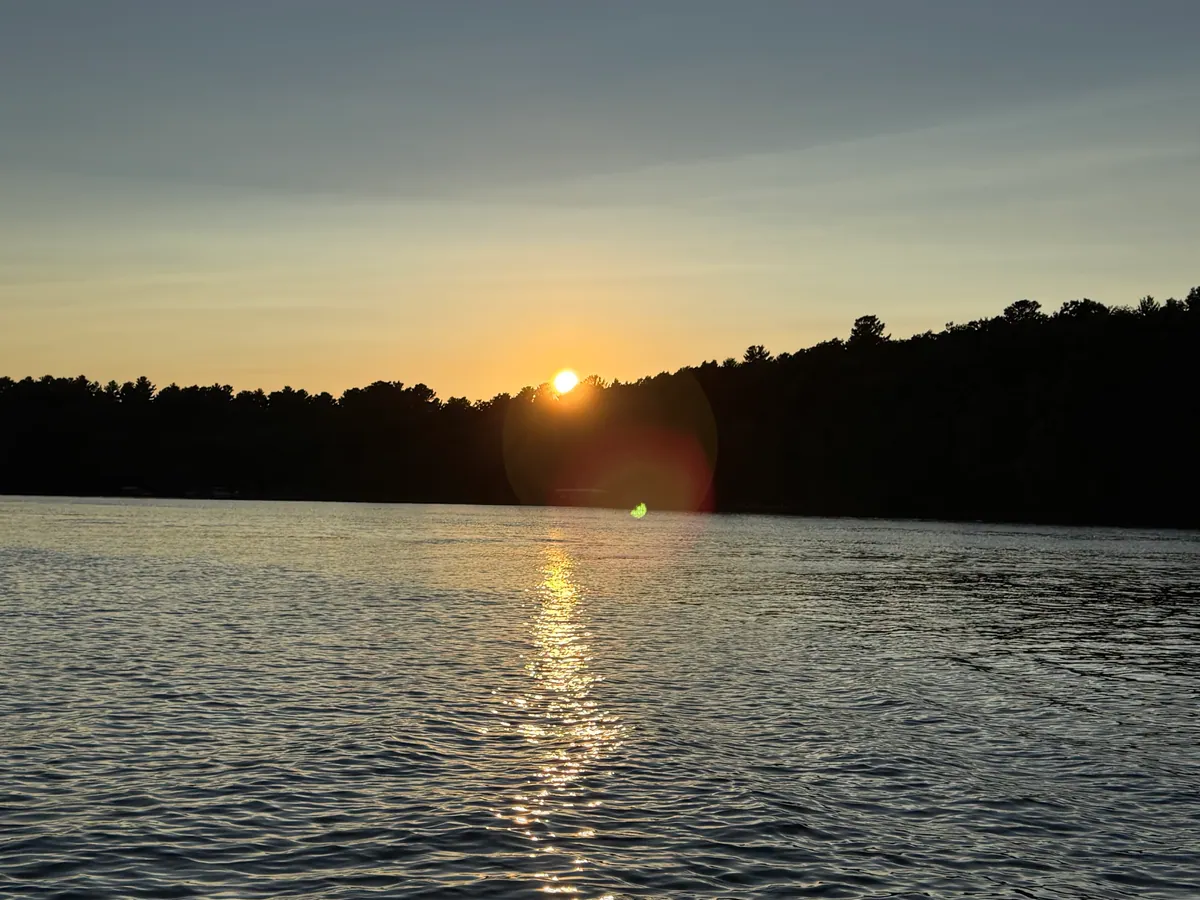
Table Rock & Branson Lakes
White River reservoirs set in the limestone and dolomite hills of the southwestern Missouri Ozarks. Table Rock Lake, impounded by the U.S. Army Corps of Engineers in 1958, spans Stone, Barry, and Taney counties, and its cold tailwater forms Lake Taneycomo, a year-round trout fishery flowing past Branson. Table Rock's clear water makes it one of the region's top bass-fishing and boating destinations.
Ways to pick a Table Rock & Branson Lakes lake
Cleanest water
- Lake Taneycomo @ Rockaway Beach — 8.7 ft clarity
- Table Rock Lk. Into Main Channel From Dam Lake — 7.2 ft clarity
- Bull Shoals Lake — 8.1 ft clarity
- Table Rock L. Ab. Carter Br. Lake — 6.8 ft clarity
Cleanest Lakes in Table Rock & Branson Lakes
Taney County · 8.7 ft clarity
Stone County · 7.2 ft clarity
Taney County · 8.1 ft clarity
Barry County · 6.8 ft clarity
Taney County · 8.9 ft clarity
Taney County · 12.6 ft clarity
Other Lake Regions
Plan a trip in Missouri
Missouri's cleanest lakes, ranked on agency measurements
Species activity outlook by water temperature and season
Where to stay at Missouri's top lakes, each with its readings
Cleanest lakes within 50 miles of St. Louis
Cleanest lakes within 50 miles of Kansas City
Cleanest lakes within 50 miles of Springfield
Frequently Asked Questions
The Table Rock & Branson Lakes area has 29 lakes with water-quality records from state and federal monitoring. 28 of them have a clarity reading and 0 have documented fish species.
Cabins, hotels, and vacation rentals around Table Rock & Branson Lakes are on the map below with live availability. A lake with low nutrient and algae readings is the better swim and cabin pick when water quality is part of the trip.
The lakes with the lowest nutrient and algae readings lead the table above. Each lake page shows its own phosphorus, chlorophyll-a and clarity readings beside the EPA condition class; none of it is a same-day swim clearance.
Where to stay near Table Rock & Branson Lakes
Compare lakeside cabins, hotels, and vacation rentals near Table Rock & Branson Lakes — then explore the interactive map to find a place to stay close to the water.
Top-rated places to stay near Table Rock & Branson Lakes
Prices for Oct 9–11, 4 adults. Change dates on the map below.
Availability and prices from Stay22 partners (Booking.com, Vrbo, Expedia). We may earn a commission from bookings, at no extra cost to you.
Planning a trip to Table Rock & Branson Lakes?
Get lake water-quality updates plus the best cabin & lodging deals near Table Rock & Branson Lakes — straight to your inbox. No spam, unsubscribe anytime.
Source: EPA National Aquatic Resource Surveys, 2026.