Published August 20, 2026
Is Lake of the Ozarks Clean? What the Monitoring Shows
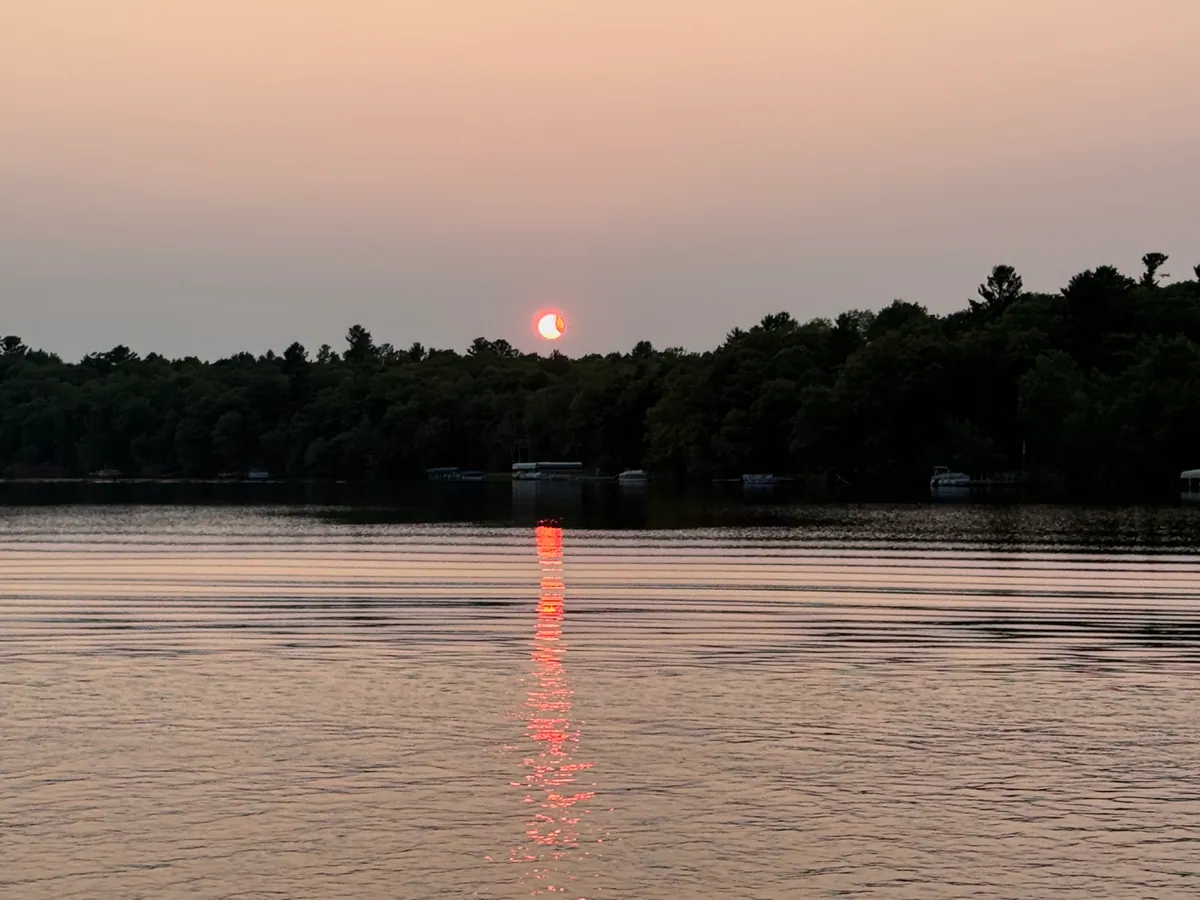
Lake of the Ozarks is sampled at 34 monitoring stations spread along its arms and main channel. Of the 9 with enough data for a complete reading, most land in EPA's less favourable condition classes on nutrients and algae — fair to poor for this ecoregion. Typical clarity is about 3.9 feet. That is a swimmable, boatable reservoir with real algae pressure in late summer, and it varies a great deal depending on where you put in.
Driving the news
- Missouri samples the reservoir at 34 stations. 9 have nutrient and algae readings, with typical clarity of 3.9 feet and typical phosphorus of 41 µg/L.
- Fair-to-poor nutrient conditions mean late-summer algae is a real possibility, not that the lake is unsafe. Missouri DNR posts the advisories that answer the day-of question.
- Because the readings differ from one arm to the next, the lake is covered here as a region: Lake of the Ozarks — A serpentine 54,000-acre reservoir created in 1931 when Bagnell Dam impounded the Osage River, with more than 1,100 miles of shoreline winding through the northern Ozarks. One of the largest man-made lakes in the Midwest, it supports a year-round boating and resort economy around Osage Beach and Camdenton, alongside karst springs and sinkholes at Ha Ha Tonka State Park.
One reservoir, dozens of readings
Lake of the Ozarks is a 54,000-acre reservoir on the Osage River behind Bagnell Dam, with more than 1,100 miles of shoreline through Camden, Miller, Morgan, and Benton counties. A lake that long and that branched does not have one water quality. It has the water quality of wherever you happen to be standing, which is why Missouri’s monitoring program samples it at many points instead of one, and why a single readings for the whole reservoir would hide more than it explained.
Of 34 sampled locations, 9 have recent nutrient and algae readings, and 25 do not yet. Typical clarity is 3.9 feet, typical total phosphorus 41 µg/L, and typical chlorophyll-a 15 µg/L. In plain terms: enough nutrients to feed algae in a warm, still stretch of summer, and enough water movement and depth that it is not a chronically green lake.
Why the reservoir gets called clean and murky in the same season
Two things drive it. The first is which measurements you look at. Dissolved oxygen, turbidity, and total dissolved solids describe general pollution chemistry, and a deep, well-flushed reservoir usually does well on those. Nutrients and algae are a different question — phosphorus and chlorophyll-a against EPA condition classes for the surrounding ecoregion — and that is what decides whether the water goes green in August. The same lake can look good on one measure and middling on the other.
The second is location. Clarity near the dam and clarity in an upstream arm after a rainstorm are different numbers taken from the same lake. Visitors comparing notes are often both right.
What to check before a trip
Start at the Lake of the Ozarks page, which pulls together the readings for the reservoir as a whole. Then check Missouri DNR beach advisories the day you swim. Middling nutrient and algae readings raise the odds of murky water and algae over a summer; it is not a closure, and it does not mean every cove looks the same. Pick your access point with that in mind — deeper water toward the main channel, more sediment and nutrients toward the upstream ends and behind creek inflows.
One thing this page will not give you is a same-day verdict. Nutrient readings describe a typical season, and no monitoring dataset can tell you whether a particular cove is clear this afternoon. For how the grades relate to swimming and blooms, see Is It Safe to Swim? and Algae Blooms Explained. For how this reservoir compares with the rest of the country, see the cleanest-lakes ranking.
Frequently Asked Questions
It is middling, and it varies by location. Missouri’s monitoring program samples the reservoir at 34 stations rather than treating it as one point. Across the 9 stations with nutrient and algae readings, typical clarity is about 3.9 feet and typical total phosphorus is 41 µg/L — nutrient and algae readings in the middle of the range for this part of the country, not pristine water and not a health emergency.
Both can be, because "clean" is measured more than one way. Dissolved oxygen, turbidity, and total dissolved solids describe general pollution chemistry, and a deep, well-flushed reservoir like this one usually does well on those. The readings here measure nutrients and algae, phosphorus and chlorophyll-a against EPA condition classes for the ecoregion, which is what decides whether the water turns green in August. A lake can look good on one measure and middling on the other without either being wrong.
Yes, people swim in it all summer. Middling nutrient and algae readings mean algae and murk are more likely than at a high-clarity lake, not that the water is closed. Day-of safety comes from Missouri DNR beach advisories, which are posted separately and are worth checking the morning of a trip — especially after a stretch of hot, calm weather.
Conditions differ between the main channel and the upper arms and coves, which is why the state samples so many stations instead of one. In branching reservoirs like this one, water is typically deeper and clearer near the dam and murkier at the upstream end, where the river and its tributaries deliver sediment and phosphorus. Check the station readings for the arm you are actually visiting rather than assuming one number covers 1,100 miles of shoreline.
/methodology
Get ranking and methodology notes
New water-quality fact checks as we publish. No spam, unsubscribe anytime.