Updated August 2026
Whitney Falls
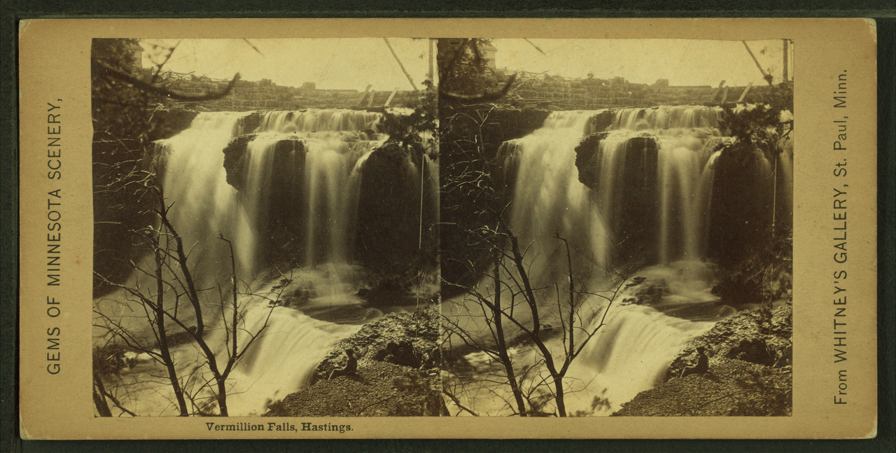
Whitney Falls drops about 250 feet into a narrow, lava-capped canyon on the dry northwestern flank of Mount Shasta, fed by Whitney Creek from the Whitney Glacier. The access trail was officially condemned by the Forest Service after a 1997 glacial outburst damaged it, and flow varies widely by season.
Before you go
Waterfalls are hazardous by nature — wet rock, cold water, and unstable edges — and flow varies enormously with season and recent rain. Trail figures here describe the route as documented, not conditions today. Check Shasta-Trinity National Forest for closures and current conditions, and confirm land status before setting out.
Where to stay near Whitney Falls, California
Top-rated places to stay near Whitney Falls, California
Prices for Oct 30–Nov 1, 4 adults. Change dates on the map below.
Availability and prices from Stay22 partners (Booking.com, Vrbo, Expedia). We may earn a commission from bookings, at no extra cost to you.
Planning a trip to Whitney Falls, California?
Get lake water-quality updates plus the best cabin & lodging deals near Whitney Falls, California — straight to your inbox. No spam, unsubscribe anytime.
Frequently Asked Questions
Whitney Falls drops about 250 feet. That makes it the 66th-tallest documented waterfall in this inventory, taller than roughly 91% of the falls listed here. Height comes from published land-manager and survey records, not from our own measurement.
The Whitney Falls Trail reaches it about 3.2 miles (out-and-back) with roughly 800 feet of elevation gain, rated moderate. The nearest town is Weed. That describes the route as documented, not conditions on the day — check with Shasta-Trinity National Forest for closures and current conditions.
Late July to August (peak glacial melt). Waterfall flow swings enormously with snowmelt and recent rain, so a fall that roars in spring can be a trickle by late summer.
More California waterfalls
- Alamere Falls · 40 ft
- Bassi Falls · 109 ft
- Berry Creek Falls · 70 ft
- Big Falls · 500 ft
- Bridalveil Fall · 617 ft
- Burney Falls · 129 ft
- Carlon Falls · 35 ft
- Cascade Falls · 200 ft
Sources
Get trip conditions by email
Lake grades, water temperature, and seasonal conditions as the data updates. No spam, unsubscribe anytime.