Updated August 2026
Vermilion Falls
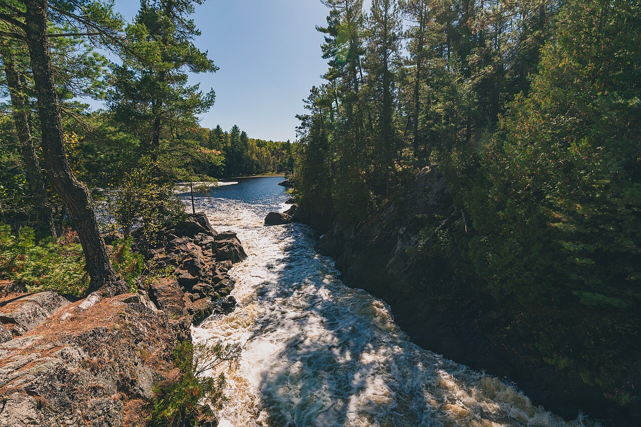
Vermilion Falls is a powerful torrent where the Vermilion River funnels through a narrow granite chasm roughly 10 feet wide near Crane Lake in northern Minnesota's Superior National Forest. A short quarter-mile round-trip trail leads to an observation deck overlooking the gorge.
Before you go
Waterfalls are hazardous by nature — wet rock, cold water, and unstable edges — and flow varies enormously with season and recent rain. Trail figures here describe the route as documented, not conditions today. Check USFS – Superior National Forest for closures and current conditions, and confirm land status before setting out.
Frequently Asked Questions
No measured height is on record for Vermilion Falls in the land-manager and survey sources this inventory draws on. We list it without a height rather than estimating one.
The Vermilion Falls Trail reaches it about 0.25 miles (out-and-back), rated easy. The nearest town is Crane Lake. That describes the route as documented, not conditions on the day — check with USFS – Superior National Forest for closures and current conditions.
spring. Waterfall flow swings enormously with snowmelt and recent rain, so a fall that roars in spring can be a trickle by late summer.
More Minnesota waterfalls
- Caribou Falls · 35 ft
- Cascade Falls (Cascade River) · 30 ft
- Devil's Kettle Falls · 50 ft
- Gooseberry Falls (Lower Falls) · 60 ft
- Gooseberry Falls (Middle Falls) · 25 ft
- Hidden Falls (Temperance River)
- High Falls of the Baptism River · 63 ft
- Illgen Falls · 40 ft
Sources
Get trip conditions by email
Lake grades, water temperature, and seasonal conditions as the data updates. No spam, unsubscribe anytime.