Updated August 2026
Ponytail Falls
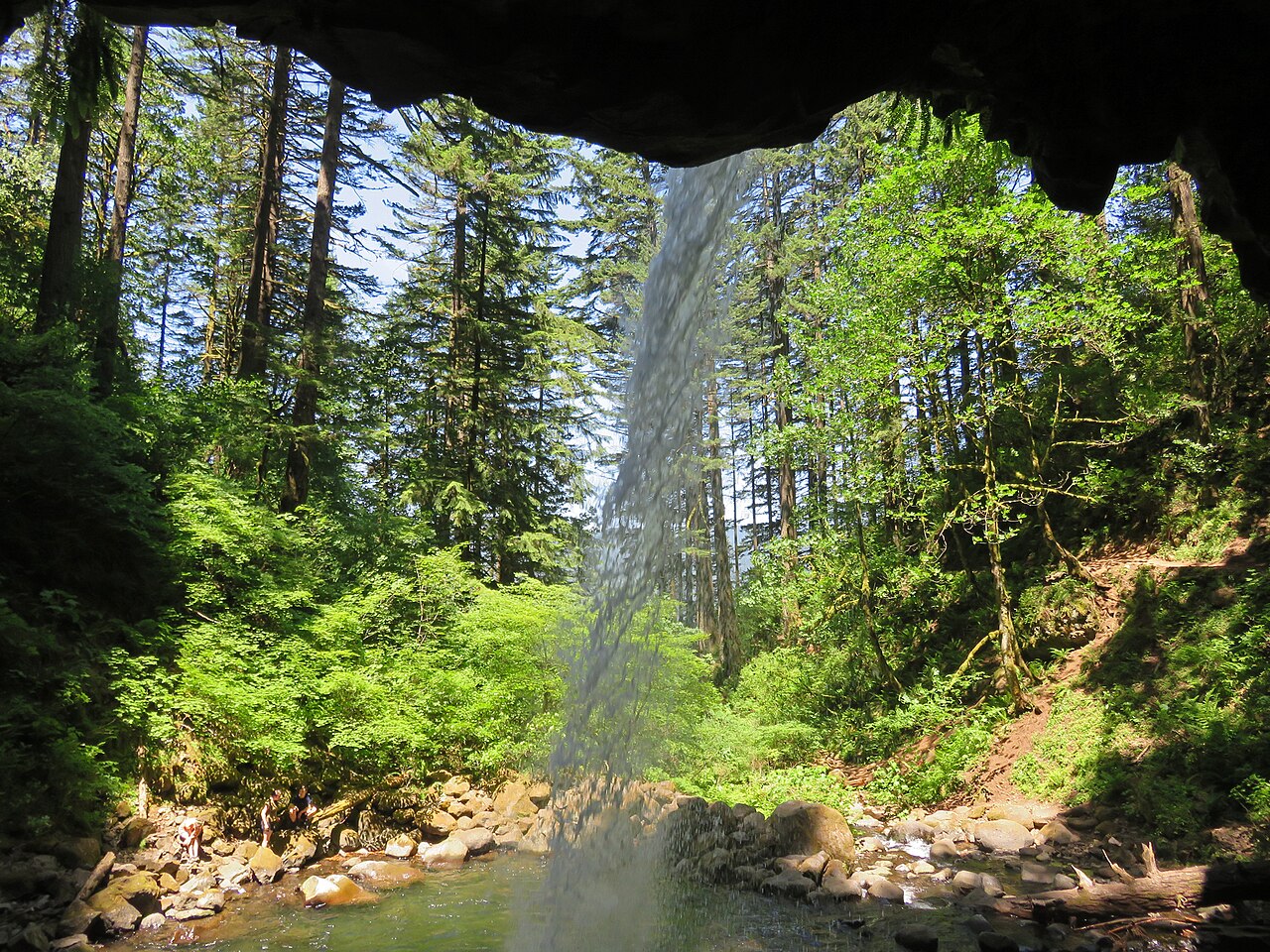
An 88-foot plunge on Horsetail Creek where the trail passes behind the falls through a naturally eroded basalt cavern. It sits a short uphill walk above Horsetail Falls in the Columbia River Gorge.
Before you go
Waterfalls are hazardous by nature — wet rock, cold water, and unstable edges — and flow varies enormously with season and recent rain. Trail figures here describe the route as documented, not conditions today. Check Columbia River Gorge National Scenic Area (USFS) for closures and current conditions, and confirm land status before setting out.
Frequently Asked Questions
Ponytail Falls drops about 88 feet. That makes it the 247th-tallest documented waterfall in this inventory, taller than roughly 64% of the falls listed here. Height comes from published land-manager and survey records, not from our own measurement.
The Horsetail Falls Trail #438 to Ponytail Falls reaches it about 0.8 miles (loop) with roughly 400 feet of elevation gain, rated easy. The nearest town is Corbett. That describes the route as documented, not conditions on the day — check with Columbia River Gorge National Scenic Area (USFS) for closures and current conditions.
spring. Waterfall flow swings enormously with snowmelt and recent rain, so a fall that roars in spring can be a trickle by late summer.
More Oregon waterfalls
- Abiqua Falls · 92 ft
- Bridal Veil Falls · 118 ft
- Butte Creek Falls · 78 ft
- Clearwater Falls · 30 ft
- Double Falls · 178 ft
- Drift Creek Falls · 75 ft
- Dry Creek Falls · 74 ft
- Elowah Falls · 213 ft
Sources
Get trip conditions by email
Lake grades, water temperature, and seasonal conditions as the data updates. No spam, unsubscribe anytime.