Updated August 2026
Cataract Falls
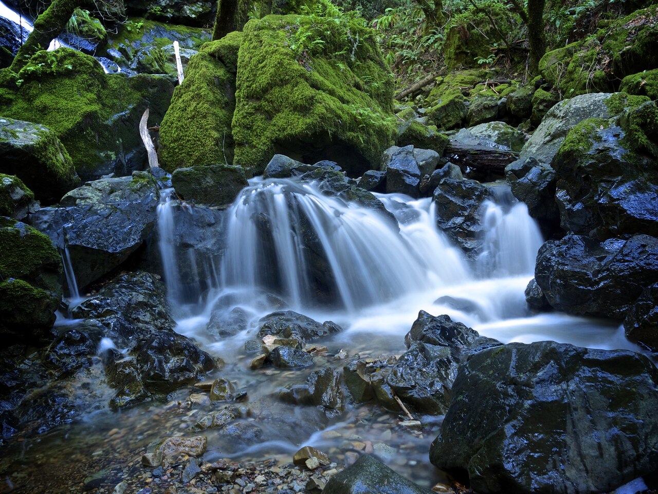
Cataract Falls is a series of cascades along Cataract Creek on the slopes of Mount Tamalpais in Marin County, especially scenic after winter rains. The trail climbs through shaded forest crossing the creek several times.
Before you go
Waterfalls are hazardous by nature — wet rock, cold water, and unstable edges — and flow varies enormously with season and recent rain. Trail figures here describe the route as documented, not conditions today. Check Marin Municipal Water District for closures and current conditions, and confirm land status before setting out.
Frequently Asked Questions
No measured height is on record for Cataract Falls in the land-manager and survey sources this inventory draws on. We list it without a height rather than estimating one.
The Cataract Falls Trail reaches it about 3 miles (out-and-back) with roughly 1,053 feet of elevation gain, rated moderate. The nearest town is Fairfax. That describes the route as documented, not conditions on the day — check with Marin Municipal Water District for closures and current conditions.
winter to early spring (after rain). Waterfall flow swings enormously with snowmelt and recent rain, so a fall that roars in spring can be a trickle by late summer.
More California waterfalls
- Alamere Falls · 40 ft
- Bassi Falls · 109 ft
- Berry Creek Falls · 70 ft
- Big Falls · 500 ft
- Bridalveil Fall · 617 ft
- Burney Falls · 129 ft
- Carlon Falls · 35 ft
- Cascade Falls · 200 ft
Sources
Get trip conditions by email
Lake grades, water temperature, and seasonal conditions as the data updates. No spam, unsubscribe anytime.