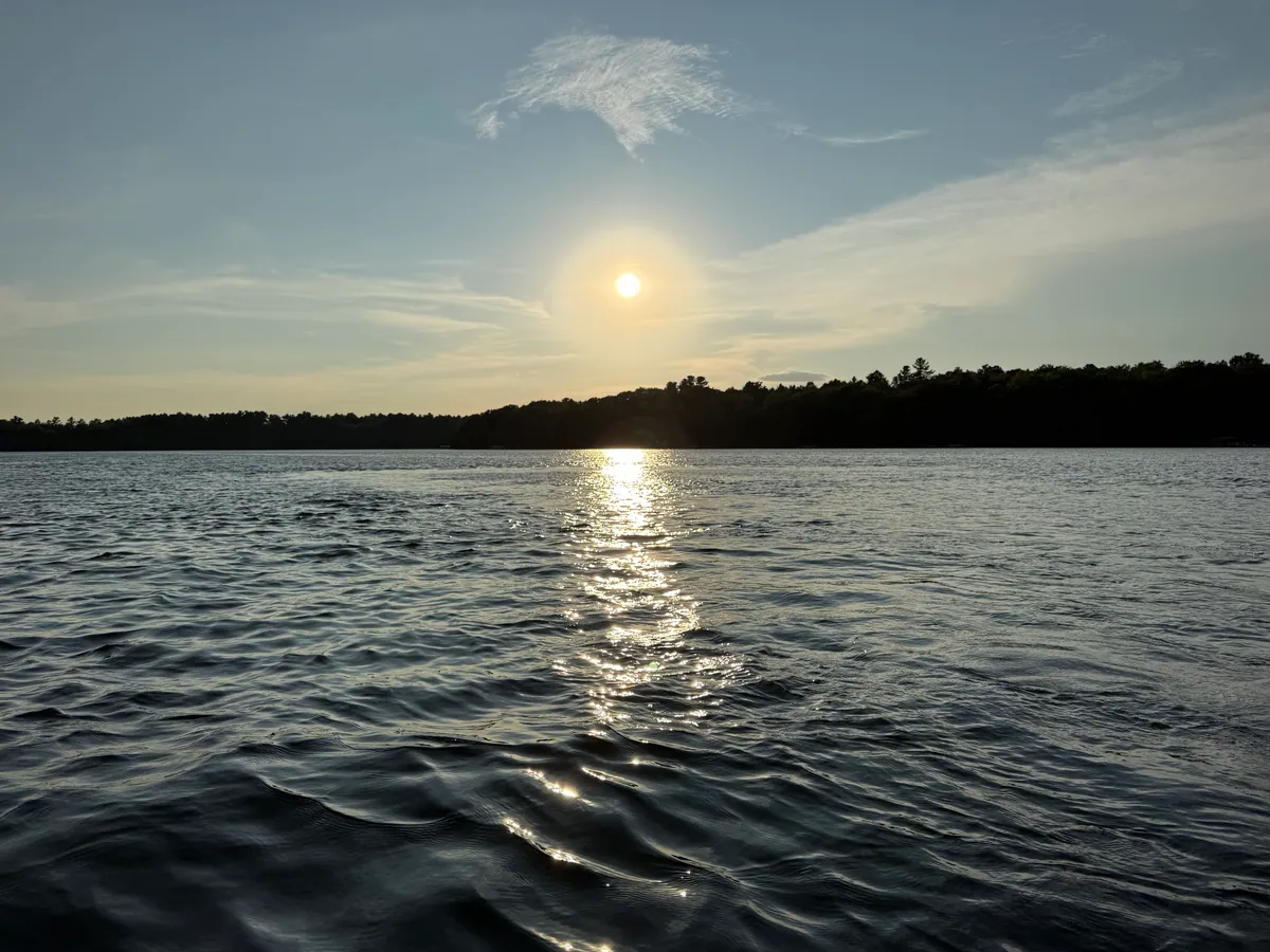
Clark Lake
Clark Lake in Gogebic County, Michigan is not rated for water quality — its monitoring record does not meet the evidence bar. Water clarity: 16.5 ft visibility. Maximum depth: 74 ft. Surface area: 836 acres.
- Clarity
- 16.5 ft
- Max depth
- 74 ft
- Area
- 836 acres
- Trend
- ↓ Declining
Next lake in Gogebic County
Swipe left or right on this bar to open the next or previous lake.
Free interactive depth-contour map of Clark Lake, reaching a maximum surveyed depth of 74 ft. Toggle Depth contours to overlay the bathymetric survey lines. Contour data from Michigan DNR.
Why Clark Lake has no grade
We grade a lake only when the monitoring record supports a letter: at least three phosphorus or chlorophyll-a samples in the last ten years, scored against EPA National Lakes Assessment thresholds for this lake’s ecoregion. For Clark Lake, the only measurement available is water clarity, which is not a water-quality indicator on its own — EPA's National Lakes Assessment does not grade clarity. Sampling here has recorded water clarity, but not phosphorus and algae (chlorophyll-a).
Not Rated is not an F. It is EPA Integrated Reporting Category 3 — insufficient information. The water here may be excellent or poor; nobody has measured enough of it to say. Everything below that has been measured is still reported on this page.
Sampling is run by EGLE and volunteer programs, and published through the EPA Water Quality Portal. Read the full grading methodology.
Clark Lake is a 836-acre lake in Gogebic County, Michigan with a maximum depth of 74 feet. Overall water quality is declining over recent sampling years. The lake supports 1 documented fish species including Lake herring.
Source: EPA Water Quality Portal sampling records, EGLE, last sampled 2023-09-06. Grade methodology: LakeQuality methodology.
Watch Clark Lake water quality
Subscribe for LakeQuality updates by email. No spam, unsubscribe anytime.
Swimming Safety
Not ratedLimited data
Not rated for swimming — there is not enough monitoring data to judge this lake
Water quality measurements for Clark Lake
These readings exist but are not enough for an A–F grade — see why.
Crystal clear, you can see 16.5 ft down. Trophic State Index: 37.
| Metric | Value | Grade |
|---|---|---|
| Water Clarity (Secchi Depth) | 16.5 ft | Not graded |
| Phosphorus | No recent samples | |
| Chlorophyll-a (Algae) | No recent samples | |
| Trophic State Index (TSI) | 37 | Oligotrophic |
Low nutrients, clear water, excellent for swimming
Where to stay near Clark Lake
Compare lakeside cabins, hotels, and vacation rentals near Clark Lake in Gogebic County, Michigan — live availability and prices for your trip. Switch the map to Satellite to see the lake and how close each stay is to the water.
Top-rated places to stay near Clark Lake
Availability and prices from Stay22 partners (Booking.com, Vrbo, Expedia). We may earn a commission from bookings, at no extra cost to you.
Planning a whole trip? See where to stay at Michigan’s top lakes →
Lake Details
| Characteristic | Value |
|---|---|
| Maximum Depth | 74 ft |
| Surface Area | 836 acres |
Lake Size & Watershed
Size, shoreline, and watershed area from HydroLAKES (HydroSHEDS).
Recreation & Access
- Crooked LakePublic
Named access points in the USGS National Boat Ramps inventory, within about 3 miles. More lakes with boat ramps
Public campgrounds near Clark Lake
- Clark Lake - Sylvania Camp2.8 km
Nearest public campgrounds in the USGS National Map inventory, within about 3 miles. An empty list means USGS records no campground that close, which is not the same as camping being unavailable. Where the source gives an official reservation link, it is used; the cabin and hotel search does not cover campsites. More camping lakes
Fish Species
Click a species to see every graded lake where it is documented.
Fishing Clark Lake
Water Quality Trend: ↓ Declining
Based on 3 years of monitoring data (2020-2025).
| Metric | Trend | Change/Year | Years |
|---|---|---|---|
| Water Clarity | ↓ Declining | -0.321 m/yr | 3 |
Graded lakes near Clark Lake
Clark Lake has no grade, but these lakes within a short drive do.
Nearby Lakes in Gogebic County
Frequently asked questions about Clark Lake
Where is Clark Lake?
- Clark Lake is a lake in Gogebic County, Michigan. LakeQuality has not rated this lake (UNRATED) — there is not enough recent sampling to assign a letter.
What is the water quality grade for Clark Lake?
- Clark Lake in Gogebic County, Michigan is not rated for water quality — its monitoring record does not meet the evidence bar. Water clarity: 16.5 ft visibility. Maximum depth: 74 ft. Surface area: 836 acres.
Is Clark Lake safe to swim in?
- Not rated for swimming — there is not enough monitoring data to judge this lake. Clark Lake is not rated for water quality — its monitoring record does not meet the evidence bar. Always check local health department advisories before swimming.
How deep is Clark Lake?
- Clark Lake has a maximum depth of 74 feet. The lake covers 836 acres.
What fish are in Clark Lake?
- Fish species found in Clark Lake include Lake herring. Clark Lake is located in Gogebic County, Michigan.
Are there boat ramps on Clark Lake?
- Clark Lake has 1 documented boat landing in the USGS National Boat Ramps inventory. Named access points include Crooked Lake.
Are there campgrounds on Clark Lake?
- Clark Lake has 1 public campground from USGS The National Map within 5 km, including Clark Lake - Sylvania Camp. This is a location join, not a booking. Cabins and hotels are listed separately; campsite reservations use the official link when the source provides one.
Explore Clark Lake across LakeQuality
15.7 mi away · 50 ft
Fish species and top-graded lakes across Michigan
Fish species and best lakes in Gogebic County
Species activity outlook by water temperature and season
Top lakes and where to stay in the Upper Peninsula area
Where to stay at Michigan's top lakes, each with its grade
Michigan's cleanest and most-polluted lakes, ranked
More Michigan Lake Rankings
Other Lakes in Michigan
Oligotrophic Lakes in Michigan
Where this data comes from
3 measurements from 1 monitoring station, 2017–2023. Retrieved from the EPA Water Quality Portal on 2026-08-26.
Collected and reported by
- Eastern Regional Office
USFSEASTERN3 samples · 2017–2023
Monitoring station identifiers (1)
Grade thresholds from the EPA National Lakes Assessment (EPA 841-R-24-006, Table 6-3), applied by ecoregion. See how grades are calculated and data sources.
Other records on this page
Lake size & watershed from HydroLAKES (HydroSHEDS)
Named boat-access points from the USGS National Boat Ramps inventory
Public campgrounds from USGS The National Map Structures, within about 3 miles